TURN DATA INTO SMARTER DECISIONS

Technical Industrial Drone Services delivers clear visual, thermal, mapping and 3D modeling data to help organizations inspect assets, document conditions and plan with confidence.

PROTECT ASSETS
Identify conditions before they become larger problems.
IMPROVE EFFICIENCY
Capture detailed information while reducing unnecessary access and downtime.
PLAN WITH CONFIDENCE
Use organized inspection data to support maintenance and project decisions.

OUR INSPECTION SERVICES

COMPREHENSIVE SOLUTIONS FOR A WIDE RANGE OF NEEDS
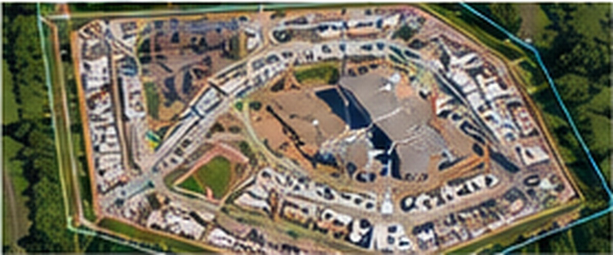
DRONE MAPPING & SITE SURVEYS

  • High-resolution orthomosaics
  • Topographic mapping
  • Volume measurements
  • Progress tracking

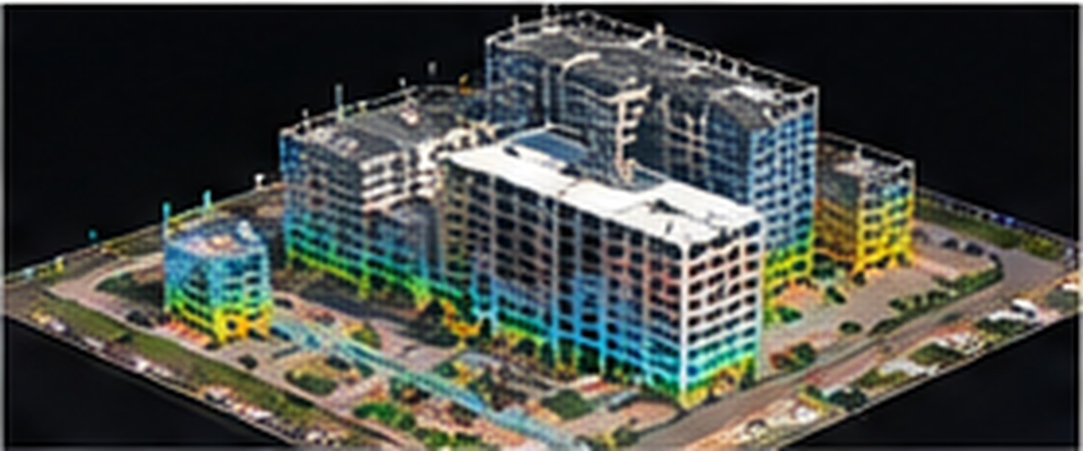
3D SITE AND BUILDING MODELING

  • Accurate 3D models
  • Building and infrastructure documentation
  • Planning and design support
  • As-built verification

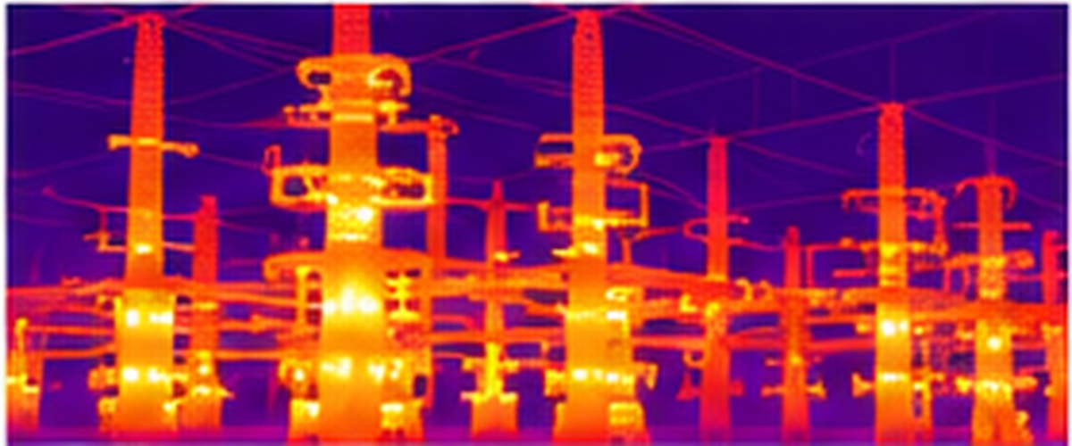
THERMOGRAPHIC INSPECTIONS

  • Detect overheating components
  • Identify energy loss and moisture intrusion
  • Electrical, mechanical, and building inspections
  • Certified thermographer

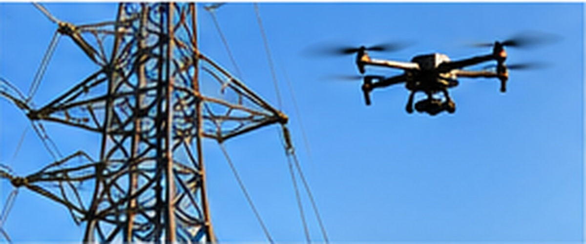
INFRASTRUCTURE & UTILITY INSPECTIONS

  • Transmission and distribution lines
  • Towers, substations, and poles
  • Asset condition assessment
  • Vegetation and right-of-way monitoring
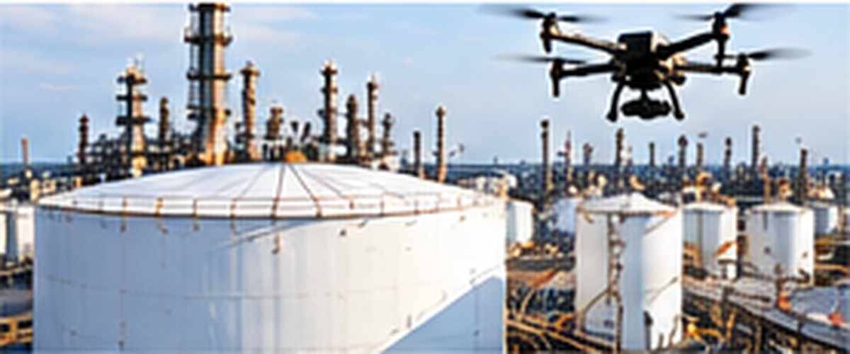
COMMERCIAL & INDUSTRIAL ASSET INSPECTIONS

  • Roof inspections
  • Tanks, stacks, and hard-to-reach assets
  • Customized inspection programs

WHY DRONE INSPECTIONS?

A SMARTER WAY TO SEE MORE

Traditional inspection methods can be costly, time-consuming, and dangerous. Drone inspections provide a safer, faster, and more efficient way to gather high-quality data — without interrupting operations.

IMPROVE SAFETYKeep your people off roofs, towers, and other hazardous locations.
REDUCE COSTSEliminate scaffolding, lifts, and unnecessary downtime.
SAVE TIMEInspect large areas quickly and efficiently.
GAIN BETTER INSIGHTSHigh-resolution visual, thermal, and 3D data reveals issues that may be invisible to the naked eye.
MINIMIZE DISRUPTIONKeep facilities and operations running smoothly.
MAKE INFORMED DECISIONSActionable data helps plan, maintain, and prioritize with confidence.

INDUSTRIES WE SERVE

ENERGY & UTILITIES
INDUSTRIAL & MANUFACTURING
CONSTRUCTION & DEVELOPMENT
COMMERCIAL REAL ESTATE & PROPERTY MANAGEMENT
GOVERNMENT & MUNICIPAL
AGRICULTURE & LAND MANAGEMENT

THE TIDS ADVANTAGE

PRECISION DATA. SAFER INSPECTIONS. REAL VALUE.

EXPERIENCED & SAFETY-FOCUSEDInspection planning emphasizes safe data collection while reducing unnecessary exposure to difficult-to-access assets.
ADVANCED INSPECTION TECHNOLOGYHigh-resolution visual imaging, radiometric thermal imaging, mapping and 3D modeling document asset condition.
CLEAR, USEFUL DELIVERABLESDetailed, easy-to-understand reports organize findings to support maintenance and project decisions.
TAILORED TO THE PROJECTInspection methods and deliverables are selected around the asset, site conditions and project requirements.
LOCAL, PERSONALIZED SERVICEDirect communication keeps objectives and final deliverables aligned from start to finish.
LET'S DISCUSS YOUR NEXT PROJECT →